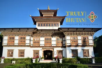
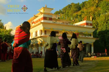
SamdrupJongkhar is the gateway to Eastern Bhutan. It is located in the southeastern part and shares borders with the Indian state of Assam. It is the largest urban center in Eastern Bhutan. It lies at elevations ranging from 200m to 3,500m. In the earlier past, many British Political Officers stationed in Sikkim took the route from Samdrup Jongkhar to enter Bhutan. Historically it was administered by the Gyadrung stationed at Dewangiri. Today the road from Trashigang to SamdrupJongkhar, completed in the 1960s, enables the eastern half of the country to access and benefit from trade with the south as well as across the Indian border as in the past where it was the main trading center for the Bhutanese. SamdrupJongkhar is a convenient exit town for tourists who have arranged to visit the neighboring Indian state of Assam.
How many chiwogs are there in Samdrup Jongkhar?
It has a populace of 40,766 (20,786 male and 19,980 female), with 4808 households and a territory of 1877.94 sq. km making up around 4% of the country’s total. Over three-quarters of its territory is under jungle cover – larger than the nationwide coverage and of largely the broad-leaved sub-tropical evergreen type. It inhibits the Dzongkhag in the sub-equatorial climate region, stretching from an altitude of 200 meters to 3600 meters, with an extensive portion of the land within 600 meters to 1200 meters.
The Dzongkhag serves as a nerve center of trade for the five other eastern Dzongkhags of Pemagatsel, Trashigang, Trashiyangtse, Lhuentse, and Mongar. The national highway links all the Dzongkhag administration headquarters and towns of the eastern part of Bhutan. Samdrup Jongkhar Town’s situation at the border with India provides entry to the Indian market, not entirely for Samdrup Jongkhar Dzongkhag but also for the other eastern Dzongkhags.


