Attractions in Trashigang
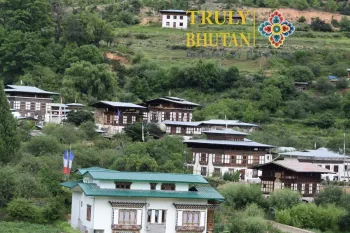
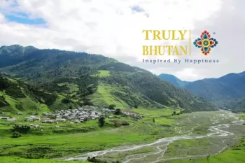
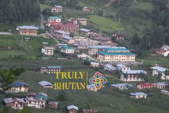
Attractions in Trashigang bring the largest and farthest district of the eastern town of Bhutan with elevations ranging from 600 m to over 4500 m above sea level. The major towns in the district include Trashigang, Radhi, Rangjung, and Phongmey.
Tashi or Trashiyangtse is another Dzongkha created in 1992 by separating them from the Trashigang dzongkhag The Trashigang town lying at an altitude of 3775 meters once served as a trade center with Tibet lies n the banks of the Gamri Chu River. With a population of around 5,000, Trashigang is the largest town in far eastern Bhutan.
Trashigang has been traditionally used as an important trade route connecting Assam with Tibet. Presently, it is also a primary route for Bhutanese trade with India. After crossing the Thrumshingla Pass and then going down, one arrives at a distinctly tropical region of Trashingang.
Further north of Trashigang is Trashi Yangtse, east to Radhi, and south to Khaling and Kanglung. Trashi Yangtse has a great Nepalese Chorten copied from the Bodhnath Stupa in Kathmandu. There is also the Dzong, the Institute for Zorig Chusum, and a hospital.
Top Attractions in Trashigang
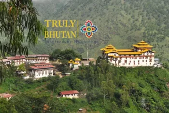
- Trashigang Dzong
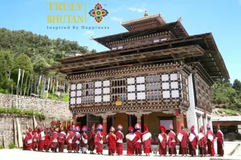
- Tashigang Tsechu festival
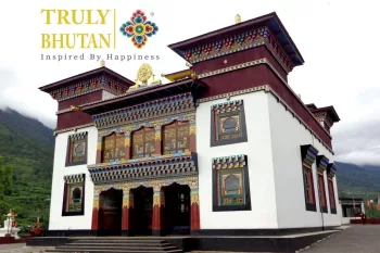
- Rangjung Woesel Chokling monastery
- Radi, the "rice basket in the east"
- Radi Lhakhang
- Sakten & Merak
- Khaling town
- Pasaphu Village
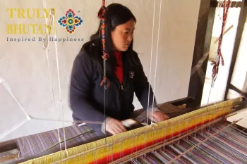
The dzong was built in 1659 on the difficult terrain make it difficult for the Tibetan invaders. The Dzong is the headquarters of the Trashigang Dzongkhag. The Sharchops, meaning “easterner” in the local language are the indigenous people of the region. In the South, to Khaling there is a school for blind children and also a weaving center. The weaving center is run by the National Women's Association to teach women weaving skills to use in their own homes and earn by selling their weavings in the market.
This town is also the principal marketplace for the semi-nomadic people of Merak and Sakteng, whose way of dress is unique in Bhutan.
Is situated on a high projection overlooking the confluence of the Drangme Chhu and the Gamri Chhu, was built in 1668 by Chogyal Minjur Tempa
An hour and a half drive away from Trashigang through a feeder road will take you to the village of Bartsham. The Chador Lhakhang, or Sangdha
Further east from Trashigang, driving north will take you to another commercial hub in Trashigang, the Rangjung town. This once sleepy town is today
The National Handloom Development Project (Khaling) trains rural weavers and supplies yarn on credit, then buys back the finished products
We locate Radhi some 30 km east of Trashigang Dzongkhag on a north-facing hill. It is partially a dry Chirpine region in its lower par
Until recently, in an effort to preserve there culture and environment, Merak and Sakteng were closed to tourism. The Royal Government
The Country’s only established Institute for the visually impaired in Khaling, Trashigang has come a long path since it’s founding in 1973

